



Archaeology Section – Geophys survey training
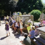
We had trainers over from the UK last month to teach us the techniques of using our gradiometer (measuring changes in the soil’s magnetism) which can assist in understanding what is hidden below the surface of the soil. It was very successful and Hervé and I are looking forward to doing more surveying and teaching the techniques to as many of the Section members who have an interest in this work.
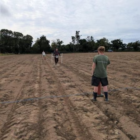
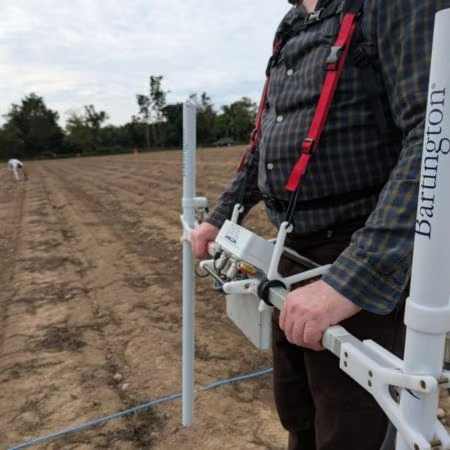
Having done the training, it is relatively straightforward as long as you follow the correct steps and sequence – our previous experiences trying to use the equipment had caused many of us to be afraid that it was all too complicated and was never likely to provide any decent results. It probably didn’t help that previous attempts to use the equipment were when it was probably broken / faulty, which was something we rectified a little while ago by sending it back to the manufacturers for a service and repair.
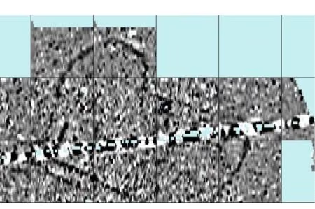
Even the supposed dark art of processing the data was something that we managed to do and to produce some decent results. Of course, we are only beginners in this regard, but by looking at the image below, hopefully you can see that we did find the Iron Age farmstead which is the subject of the summer excavation (the dark lines which are assumed to be ditches)! The line running across the image is thought to be a water / drainage pipe of which nobody, including the owner of the field, was aware!
Chair Archaeology Section – Marc Yates
Archaeology@societe.je